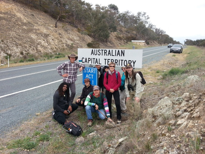
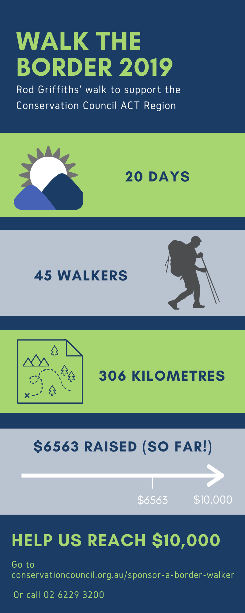
Walk the Border ACT
Thank you to everyone who walked with President Rod Griffiths in Walk the Border ACT
WHEN: 5 – 24th October 2019
WHAT: An historic 20 day walk around the beautiful and exciting ACT border
Rod is walking around the 306 km border of the ACT to raise funds for the Conservation Council ACT Region.
- Start at Mulligans Flat and travel in an anti-clockwise direction around the 306 km ACT border
- Join for the whole 20 day walk, a couple of days or even just one day.
- The walk involves many easily accessible sections suitable for a wide range of participants.
Sponsor a Border Walker
You can still support the Conservation Council by sponsoring a walker.
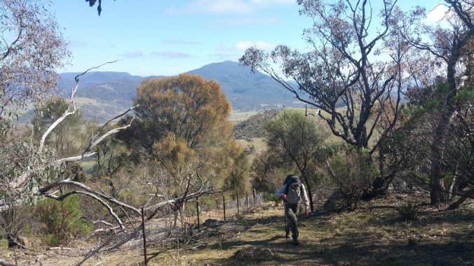
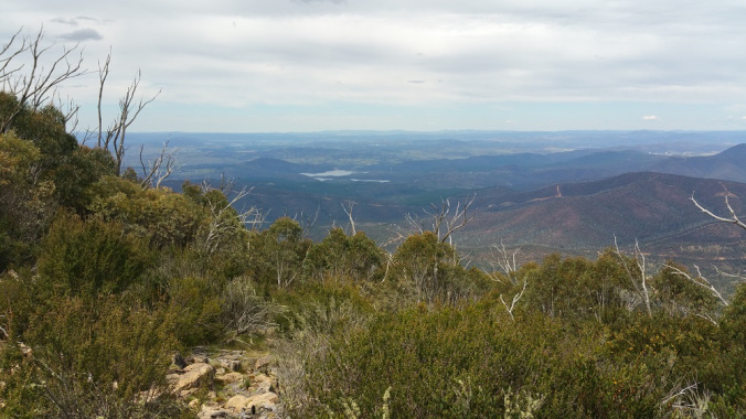
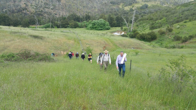
What we saw along the way
Walk in the footsteps of three surveyor teams who surveyed the ACT border for over five years.
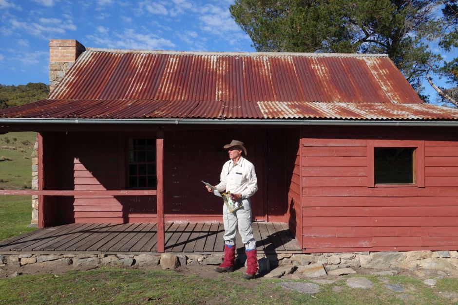
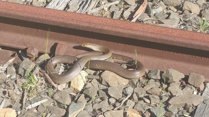
On Walk the Border ACT, you will see places of environmental interest along the way, as well as heritage interest. The border passes scenes of international espionage and memorials to the pioneering railway workers. You will also walk past the source of why the ACT was created, the source of the Cotter River, which is a very spiritual place in many ways.
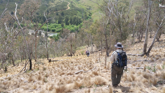
There is a reason why very few people actually walk the ACT border, due to the varied terrain and difficult climbs. This walk can be challenging but is also very beautiful, and will allow you to experience parts of the ACT less travelled in some of the roughest and most beautiful country.
Not all sections are as physically challenging, with many stages catering to less experienced walkers. There is a section in the south-west which is very hard, where you do 10 kilometres in 10 hours.
Walk the Border ACT will take 20 days commencing on 5 October 2019 from Mulligans Flat, traversing Mount Aggie, the Brindabella Range, the ACT’s highest point Mount Bimberi and Sentry Box Mountain.