Conservation Council volunteers are studying the viability of ACT woodlands to carry wild Gula. The study is guided by researchers of the Fenner School, ANU and staff of City and Environment Directorate, ACT Government. and builds upon the ACT Nature Conservation (Koala) Conservation Advice 2023. The research carried out aims to provide policy advice next year that will enhance the ACT Government Native Species Conservation Plan – Gula (Koala) Phascolarctos cinereus, 2023.
ANU Masters students are undertaking supplementary projects on digital field-based data collection, communication theory, early work on a Mulligans Flat sub-project and a data analysis model built on our research parameters.
We invite critical feedback. We are happy to share our data. For details please email info@conservationcouncil.org.au.
We use the Kamba Pool (KP) site to display an example transect and how this transect data has been combined with a range of existing spatial data sets to analyse habitat suitability.
Figure 1: Zoomed-in section of transect points overlaid on the Urban Ecological Network from Stromlo to Waniassa (North to South) and from Uriarra to Queanbean (West to East) showing different completed transects throughout Canberra’s Nature Reserves as small coloured circles.
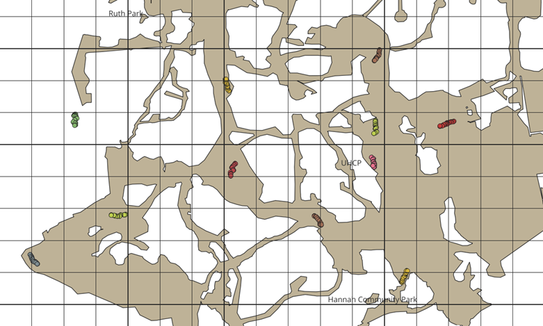
Figure 2: Visual example of inputs for one transect site (Site KP)
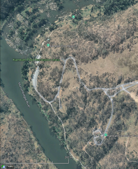
Figure 3: Site KP access map
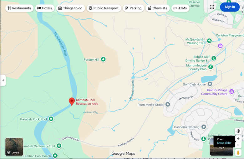
Figure 4: Site KP Vegetation Types
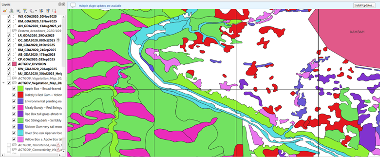
Figure 5: Site KP transect datasheet
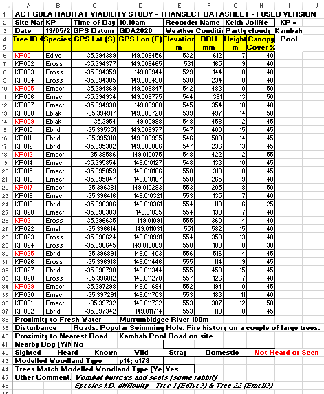
Figure 6: Site KP transect points overlaid on ACT Vegetation Types
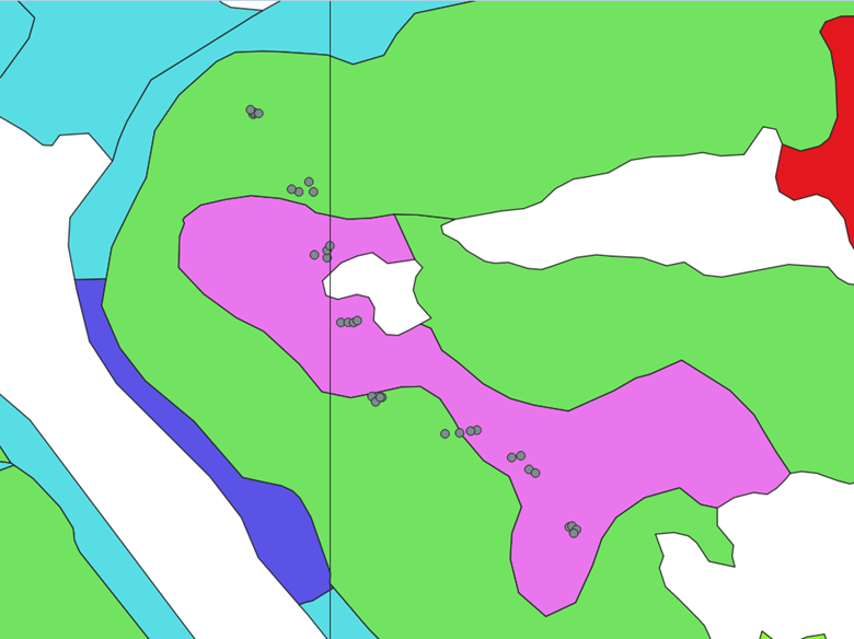
Figure 7: Site KP transect points overlaid on Potential Threatened Woodland
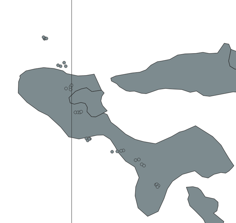
Figure 8: Site KP transect points overlaid on LIDAR Mature Trees image
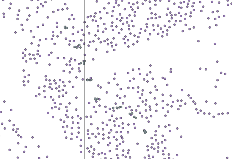
Figure 9: Site KP transect points overlaid on Connectivity Regional Linkages model
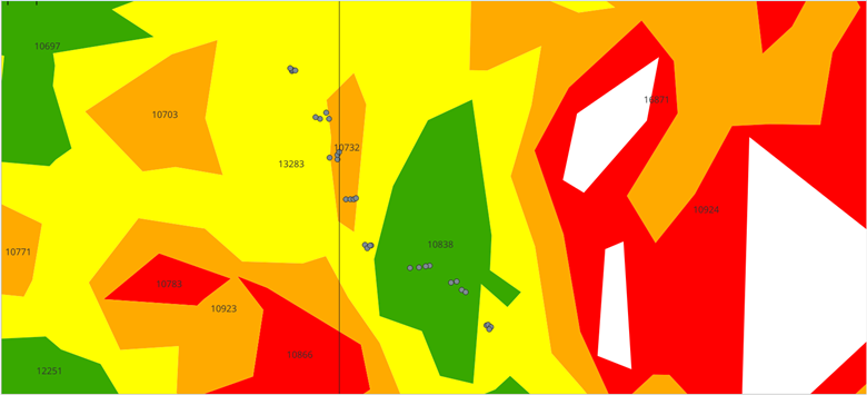
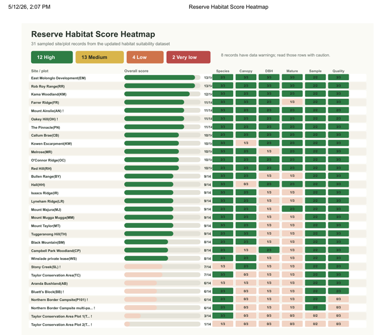
Figure 10: Early draft table of analysis using 21 transects