Conservation Council ACT Region volunteers, in collaboration with ANU researchers and with help from ACT Government’s CED personnel are examining the viability of the ACT’s woodlands as wild Gula habitat. This project began in late 2024, prompted by the appearance of the Jacka Gula and discussion about reference to the need for a “carrying capacity” study in the ACT Government Native Species Conservation Plan for Gula.
The project is:
- collecting comprehensive background material, such as scholarly publications, woodland maps, nature reserve descriptions, Gula history and local knowledge
- populating an Excel spreadsheet showing wooded hectares, woodland vegetation types, Locally Important Koala Trees (LIKTs), connectivity and fragmentation of all ACT nature reserves
- using several .shp file layers in GIS to obtain a view of vegetation types, threatened woodland areas, connectivity spaces, mature trees etc
- ground-truthing the GIS layers through a comprehensive series of transects in the field
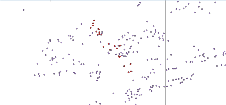
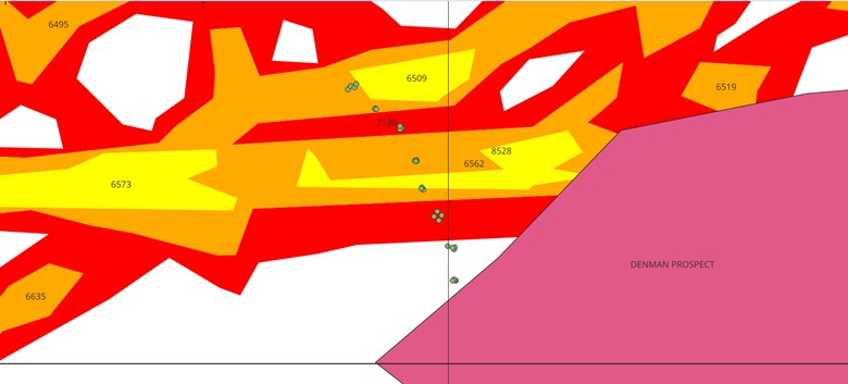
- overlaying the transect data on the .shp file layers
- planning to collect leaf samples at the end of the transect program (estimated 2027) for nutrient analysis
- planning to provide a report at project completion that will be helpful for Conservation Council and ACT Government policy
As at 21st January 2026, we have completed preliminary plot surveys and a trial transect at the Northern Border Campsite and Taylor Nature Reserve, plus a further 21 transects on other nature reserves and private properties. We are working our way slowly south, across the whole ACT and have arrived at Oakey Hill Nature Reserve. When the full transect survey program is complete, we will have arrived at southern Namadgi.
We have a total of 21 on our volunteer list, but usually only two or three join the weekly outings. Please share this information if you know people who’d like to join us for a nice Wednesday morning in the bush.
Overleaf are samples of some of the materials mentioned above.
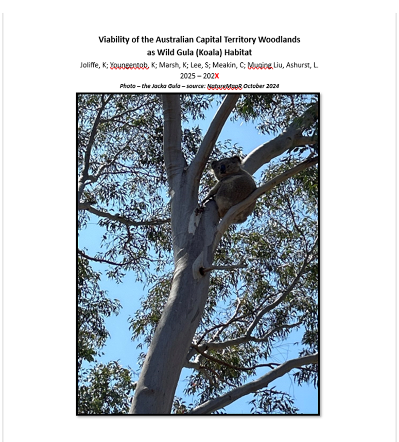
Title page of the repository of information
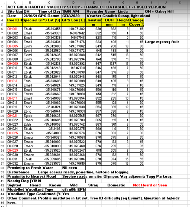
A transect datasheet
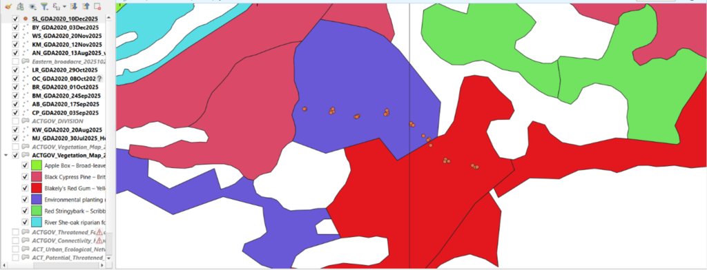
Transect datapoints overlaid on a vegetation type map
Transect datapoints overlaid on a LIDAR mature trees image
Transect datapoints overlaid on connectivity regional pathways model for birds and small mammals
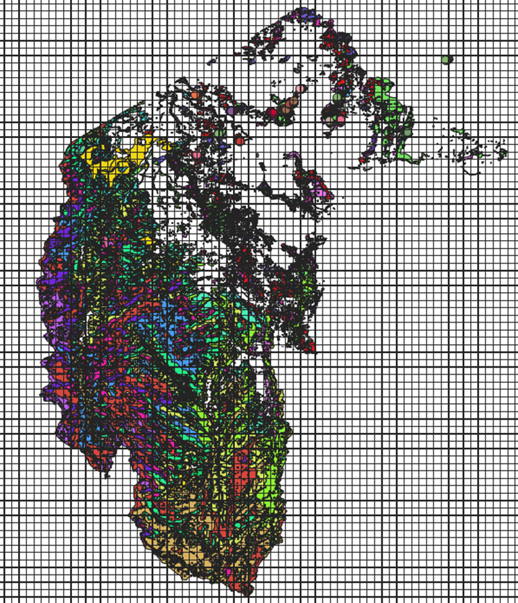
ACT woodlands distribution map
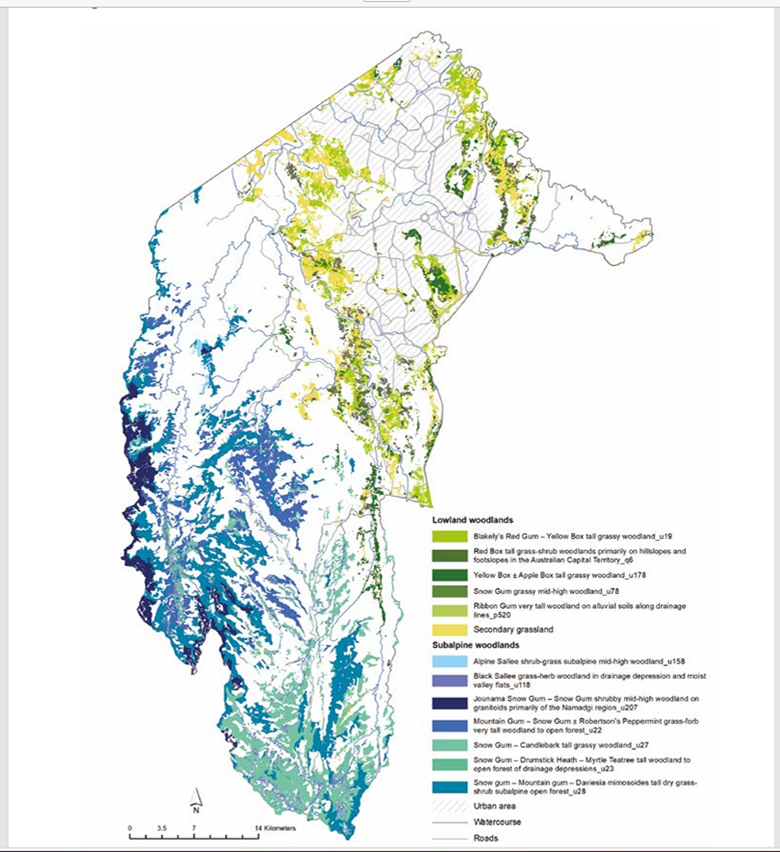
ACT Vegetation Types map